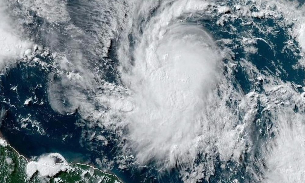
Hurricane Beryl, the first hurricane of the 2024 season, has rapidly intensified into an “extremely dangerous” Category 4 storm with sustained winds of 130 mph.
It is currently heading towards the Caribbean, posing significant threats to several islands with potential catastrophic wind damage and heavy rainfall.
1. Current Status
Beryl is about 150 miles southeast of Barbados and 245 miles east-southeast of St. Vincent, with maximum sustained winds of 130 mph.
2. Warnings and Watches
Hurricane warnings for Barbados, St. Lucia, St. Vincent and the Grenadine Islands,Grenada, and Tobago.
Tropical storm watches for Dominica and the southern coasts of the Dominican Republic and Haiti.
Tropical storm warnings for Martinique and Trinidad.
3. Wind and Rain Impact
Hurricane-force winds extend up to 30 miles from the centre, tropical storm-force winds up to 115 miles.
Wind speeds could be 30% stronger in elevated areas.
Beryl could bring 1 to 4 inches of rain to southeastern Puerto Rico on Monday night into Tuesday.
4. Expected Damage
Potentially catastrophic wind damage is expected in areas where the eyewall passes, particularly St. Vincent and the Grenadines, and Grenada.
5. Season Context
Beryl is the first hurricane of the 2024 season, following Tropical Storm Alberto, which caused fatalities in Mexico. Another tropical storm, Chris, has also developed in the Bay of Campeche.
6. Rapid Intensification
Beryl intensified from a tropical depression to a Category 4 hurricane within a few days, fueled by warm sea temperatures.